Welcome to
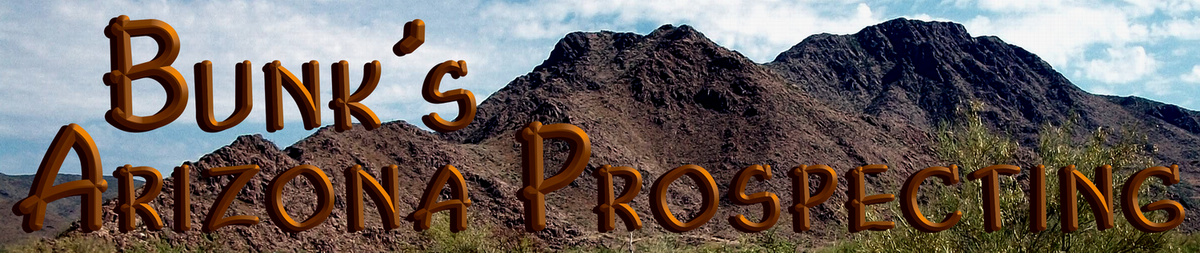
Bunk's Arizona Prospecting
Hello -n- Welcome!
Bunk's Arizona Prospecting
Salutes the Grit of Our Ancestral Pioneers Who Shaped Our Land & Our Heritage.
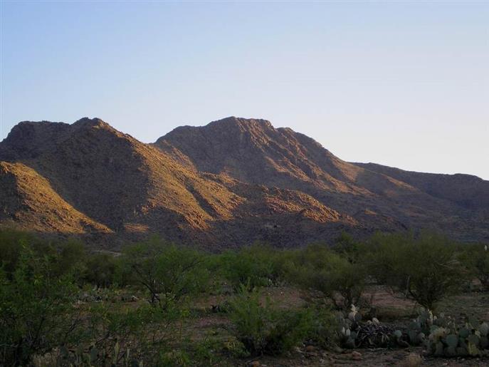
We're Dedicated to Sharing & Enlightening, thus Preserving The Art & History
of Mining & Gold Prospecting For Present & Future Generations.
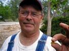
Bunk -n- Teri
"It's All About the Explorin'..."
"Just Spreadin' the Fever"
Calvin "Bunk" Bunker
![[Most Recent Quotes from www.kitco.com]](http://www.kitconet.com/charts/metals/silver/tny_ag_en_usoz_2.gif)
![[Most Recent Quotes from www.kitco.com]](http://www.kitconet.com/charts/metals/gold/tny_au_en_usoz_2.gif)
![[Most Recent Quotes from www.kitco.com]](http://www.kitconet.com/charts/metals/base/copper-d.gif)
|
Kitco Spot
Metal Prices
"It's All About the Explorin'..." - Staked by Bunk-n-Teri - 2018 - All Rights Reserved
" We Appreciate You
Stopping By"
- Bunk -n- Teri
For more information,
please contact me at:
928-830-5350
Shipping Available in
Continental U.S.A.
Welcome
Home
Bunk's Arizona Prospecting
Home of the Burro -n- Hermit Picks
Welcome
Home